Coyote Hills Regional Park - Quail and Bayview Loop
|
Check out this 4.1-mile out-and-back trail near Newark, California. Generally considered an easy route, it takes an average of 1 h 22 min to complete. This is a popular trail for birding, hiking, and running, but you can still enjoy some solitude during quieter times of day. The trail is open year-round and is beautiful to visit anytime. You'll need to leave pups at home — dogs aren't allowed on this trail.
Hike InfORMATIONDate: May 4, 2024
Time: 9am - 12pm Coyote Hills Regional Park Bayview Trail Fremont, CA 94555 - meet at public restroom (Look for further Direction Below) Leader: Wendy Werner Trail Name: Bayview to Apay Way Car Cost: $6 |
Coyote Hills Regional Park charges a fee to enter. The fee varies depending on the vehicle used to enter the park, and No dogs allowed on this trail. https://www.ebparks.org/parks/coyote-hills
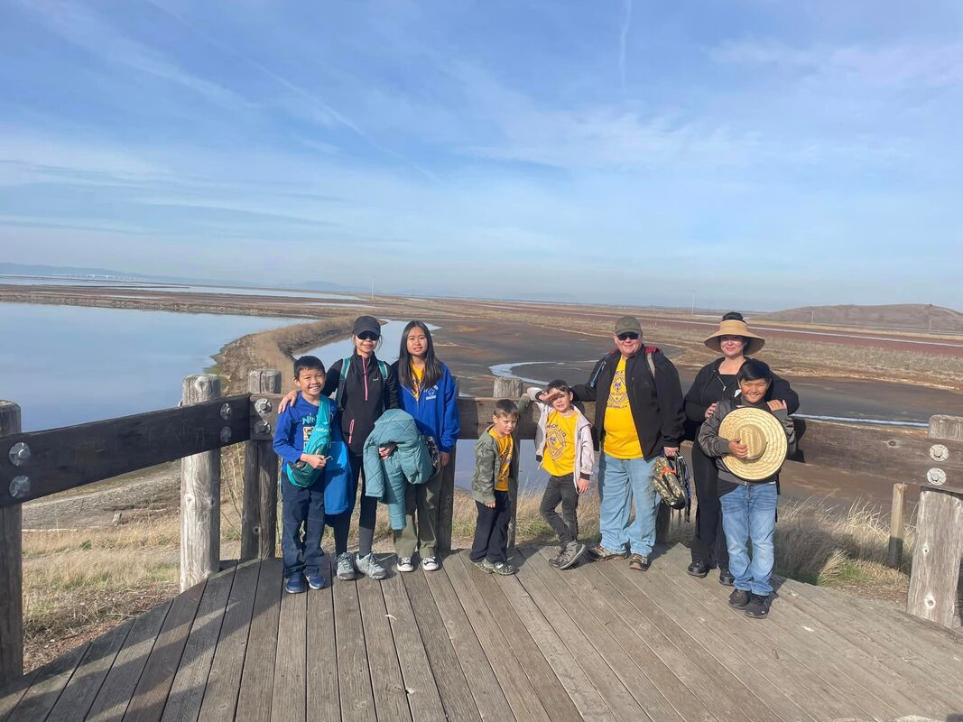
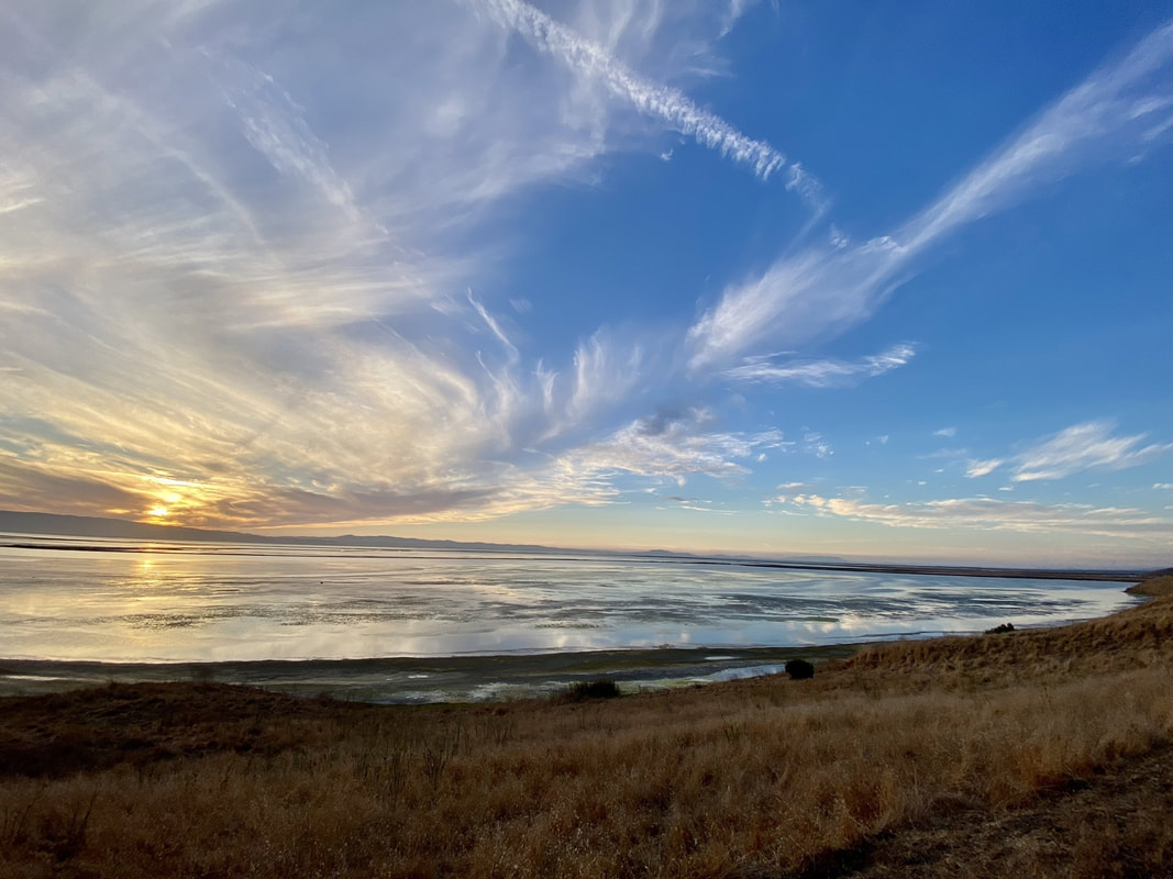
Trail Highlights: This hike takes you past the Dairy Glen group camping area and out around the base of the hills to provide great views of the bay and the multicolored salt evaporation ponds. Seagulls wheel high above you as you are buffeted by the cool bay air. If you are lucky, you may catch a glimpse of a bald eagle amongst the seagulls, shorebirds, and redwing blackbirds that call the park their home. The trail is mostly flat and much of it is paved, making it a good choice for runners and walkers alike. |
Drive Directions - look up : Bay view Trail, Fremont, CA 94555
|
After you take a right on Paseo Padre Pkwy
1mile turn left onto Patterson Ranch Road 1.1 miles make your 1st left into 1st Parking area. Meet at restroom. |
WeatherTrail InfoRMATIONThis trail takes you about 30 feet above the water, with great views of the abundant waterfowl, until you make a steep ascent to a small eucalyptus grove, where tree roots have made the asphalt uneven. The trail levels out for a good distance but is rockier as you get closer to the quarry. It travels steeply downhill to a bridge that crosses Hwy. 84, then ends at the entrance road to Don Edwards San Francisco Bay National Wildlife Refuge. Accessibility: This trail is likely accessible with assistance for visitors using wheelchairs, mobility equipment, or strollers or visitors may need to avoid the steeper and unpaved/stair sections for safety. The trail begins with a gentle uphill climb along a hillside, and although the path is greater than 5 feet wide, there’s a ridge down the center––likely from erosion––that makes the trail uneven. The trail is widest closest to the hillside. Assistance may also be needed in the last third of the trail where the surface is rougher. From the Quarry Staging Area, follow the asphalt trail near the porta-potty. It gently climbs 0.14 miles, then crosses Meadowlark Trail and continues another 0.07 miles to the Apay Way trailhead. There's a slight drop-off onto the trail. Use caution, as you get closer to the quarry and bridge the surface becomes rockier and steeper.
|


